MAPS OF THE BIBLE
These are maps that have been found to be useful in the studies on this website. Most are in the
Public Domain and free to use.
Those that are not Public Domain are protected by the copyrights which govern the websites from
where they were received. Permission to use those materials must be obtained from their authors
and not from the developers and authors of this website.
|
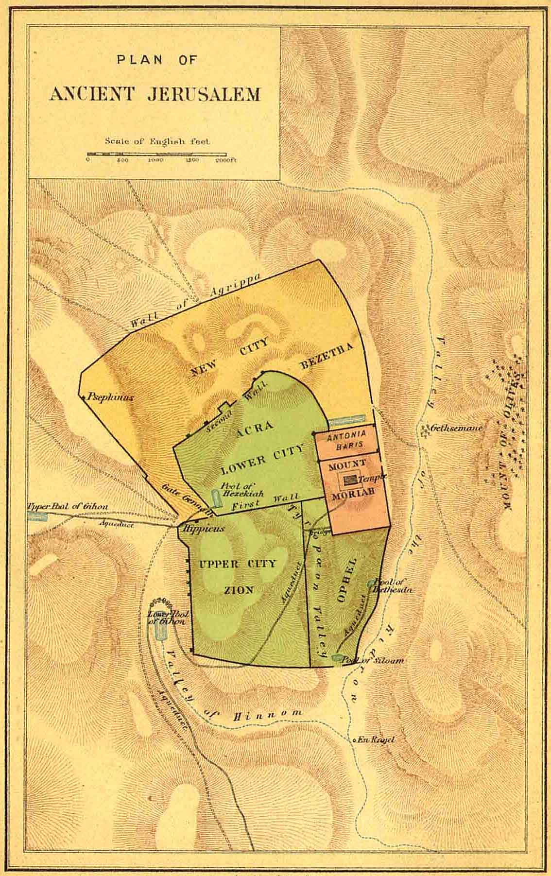
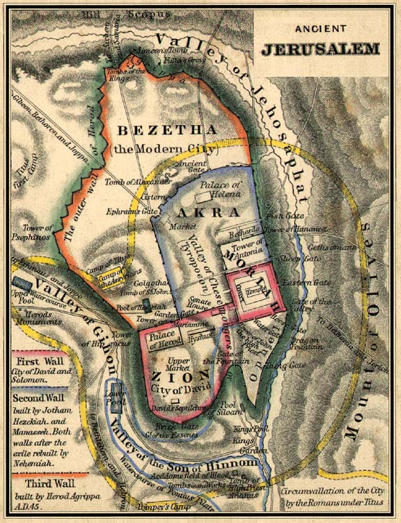
MAPS OF JERUSALEM |
|||
|
|
|
|
|
|
Wagner & Debes Engraving (conjecture) |
Walls Roman Titus encirclement |
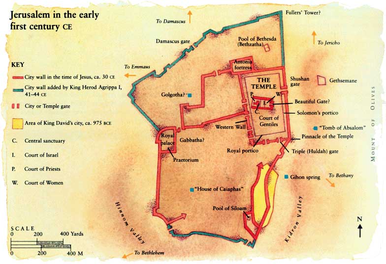
Jerusalem First Century |
|
|
|
|
|
Public Domain |
|
|
|||
|
|
|
|
|
|
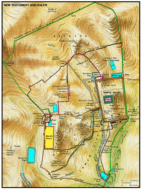
Jerusalem New Testament |
|
|
|
|
Public Domain |
|
|
|

|
MAPS OF CANAAN |
|||
|
|
|
|
|
|
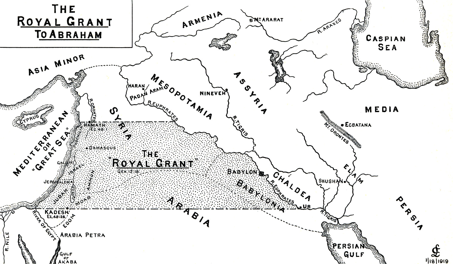
Land Grant to Abraham |
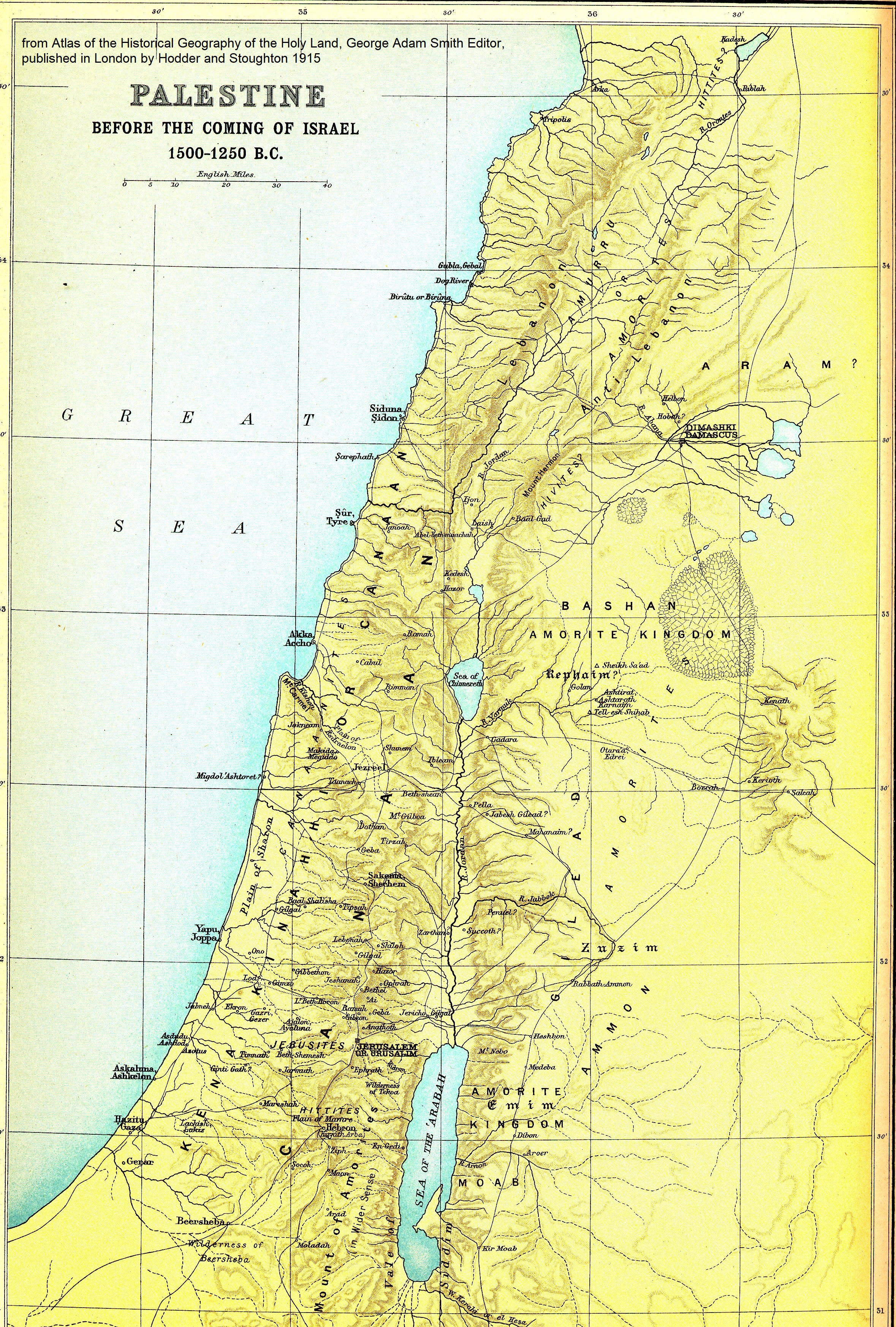
1250 BC Before Israel Arrival |
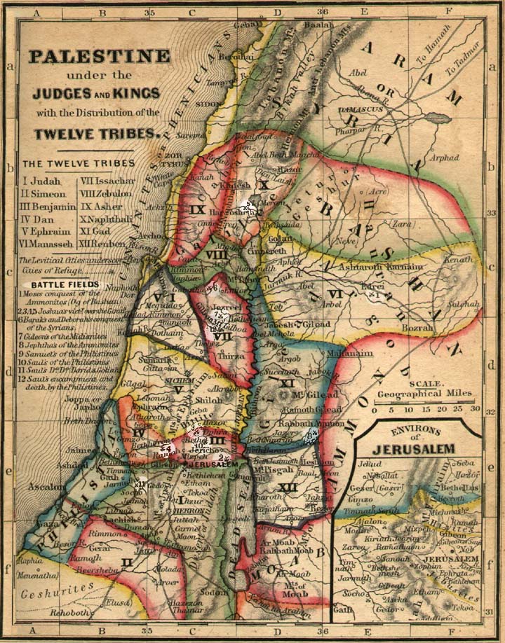
Palestine under Judges |
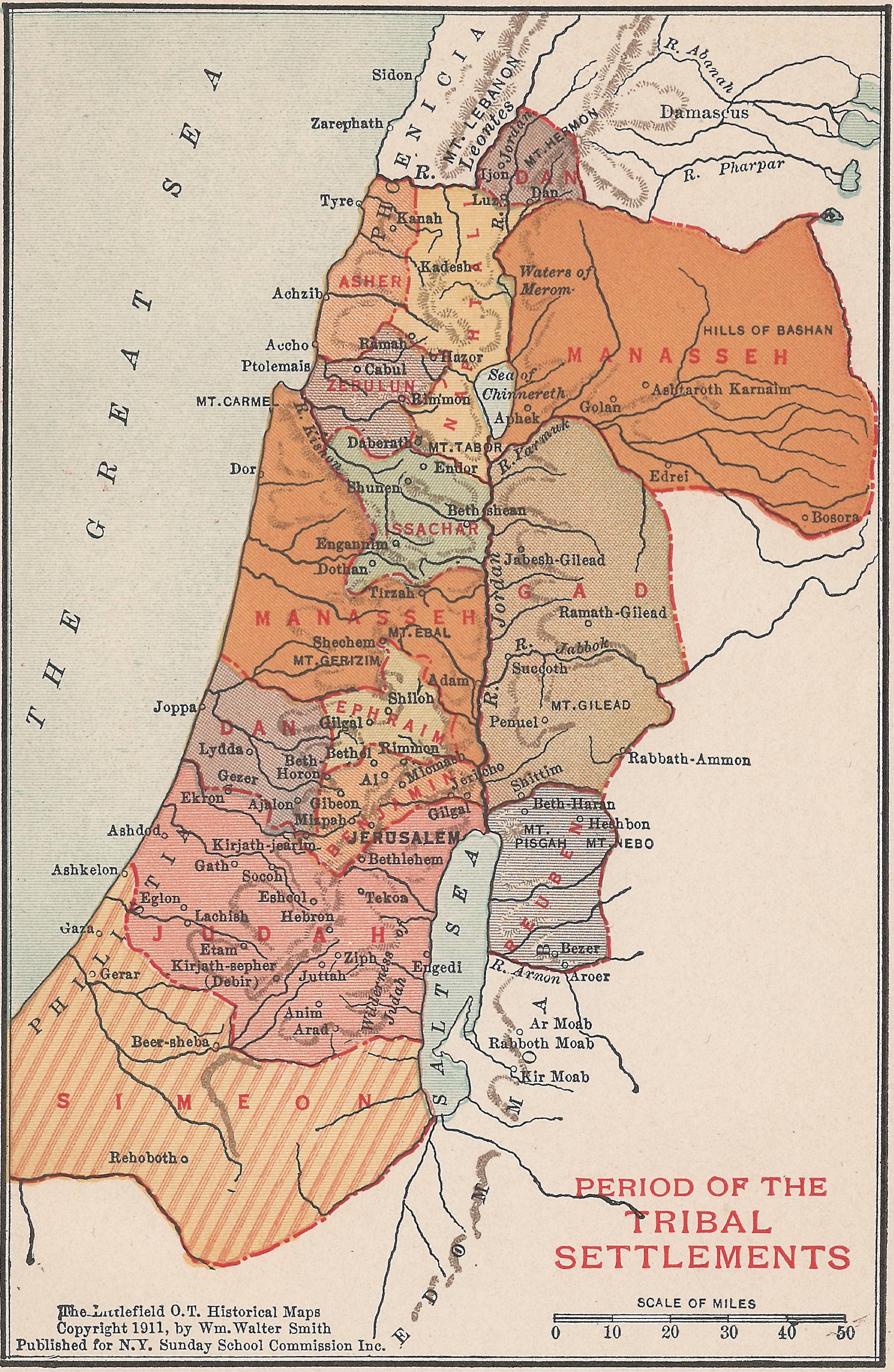
Twelve Tribes Settlement |
|
1919 Clarence Larkin |
1915 by George Smith |
|
1911 by George Smith |
|
|
|||
|
|
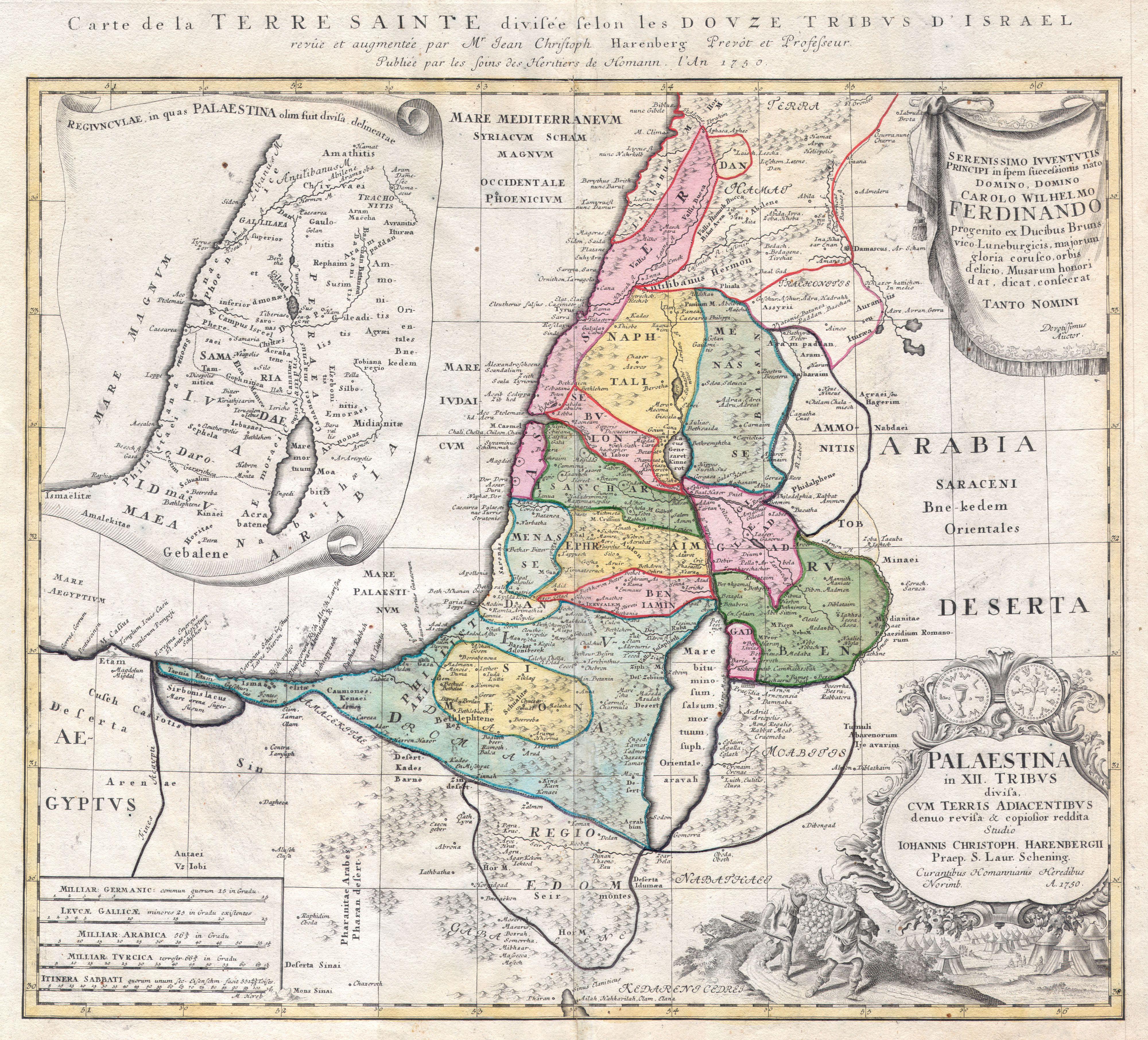
Title: Palaestina in XII Tribus divisa cum Terris Adiacentibus. by Johann Harenberg.in 1750 |
|
|
|
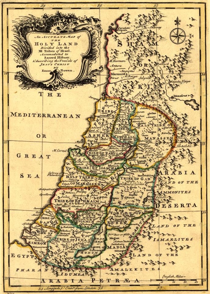
Twelve Tribe Land Allotments |
Twelve tribes drawn by |
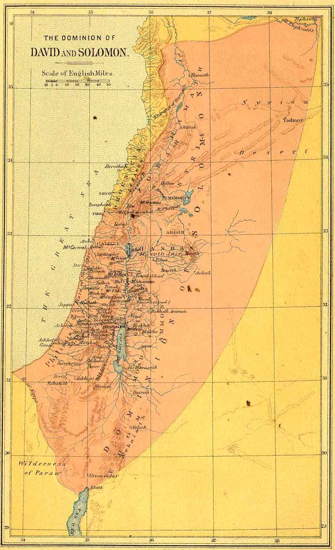
Kingdom under |
|
|
Public Domain |
Emanuel Bowen 1767 |
David & Solomon |
|
|
|
|||
|
|
|
|
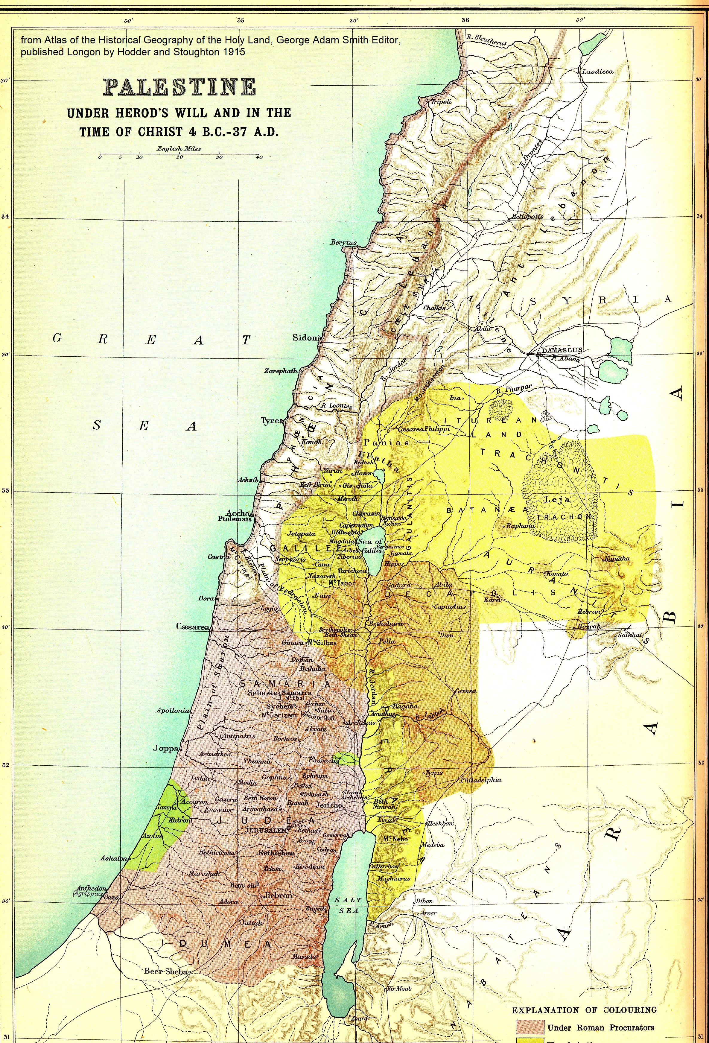
Palestine during control of Romans under Herod and time of Jesus |
|
Israel Divided: Nations of |
|
Palestine between 4 B.C. – 37 A.D. |
|
|
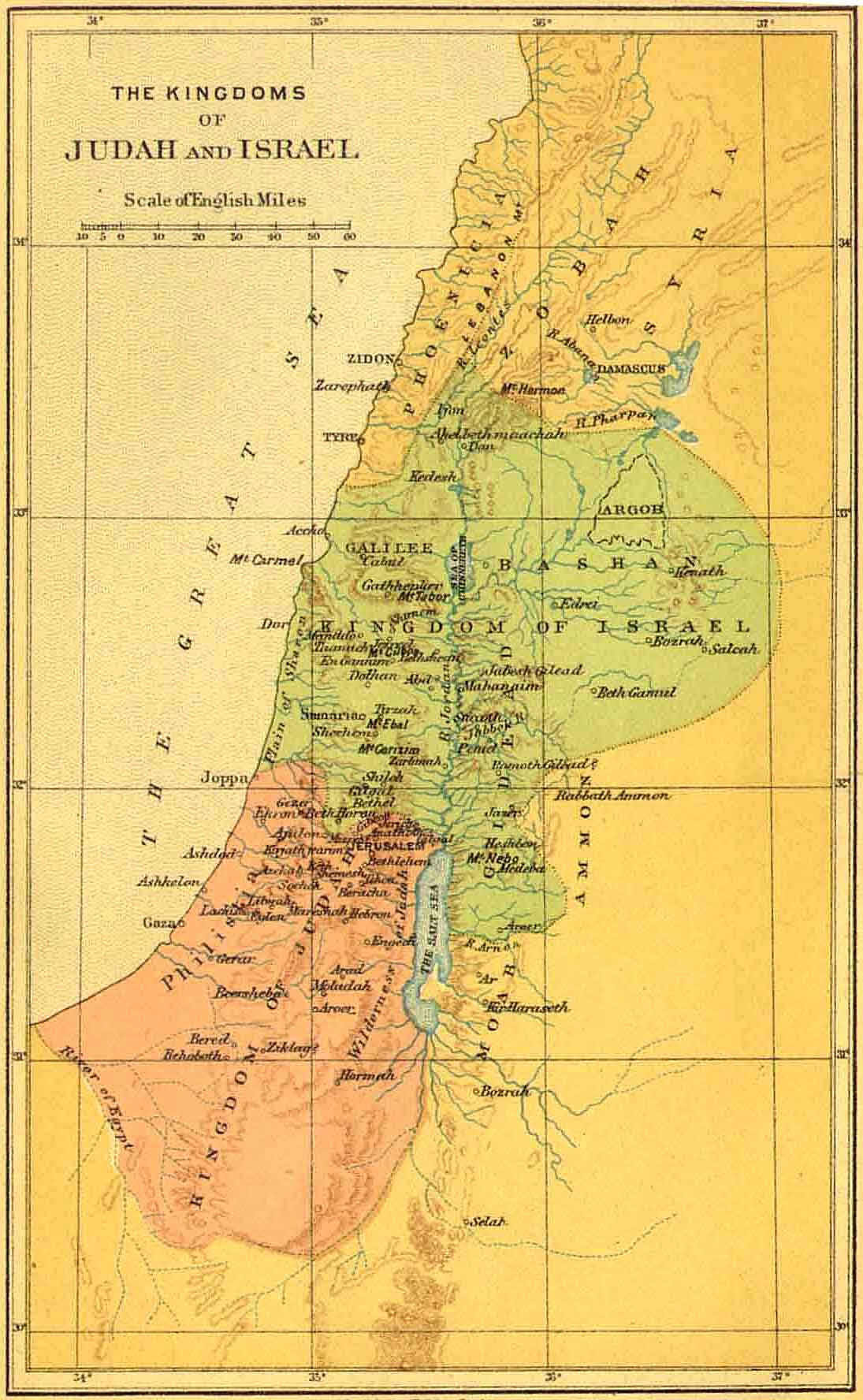
Israel and Judah |
|
1915 by George Smith |
|
|
NATIONS INVOLVED IN HISTORY OF ISRAEL |
|||
|
|
|
|
|
|
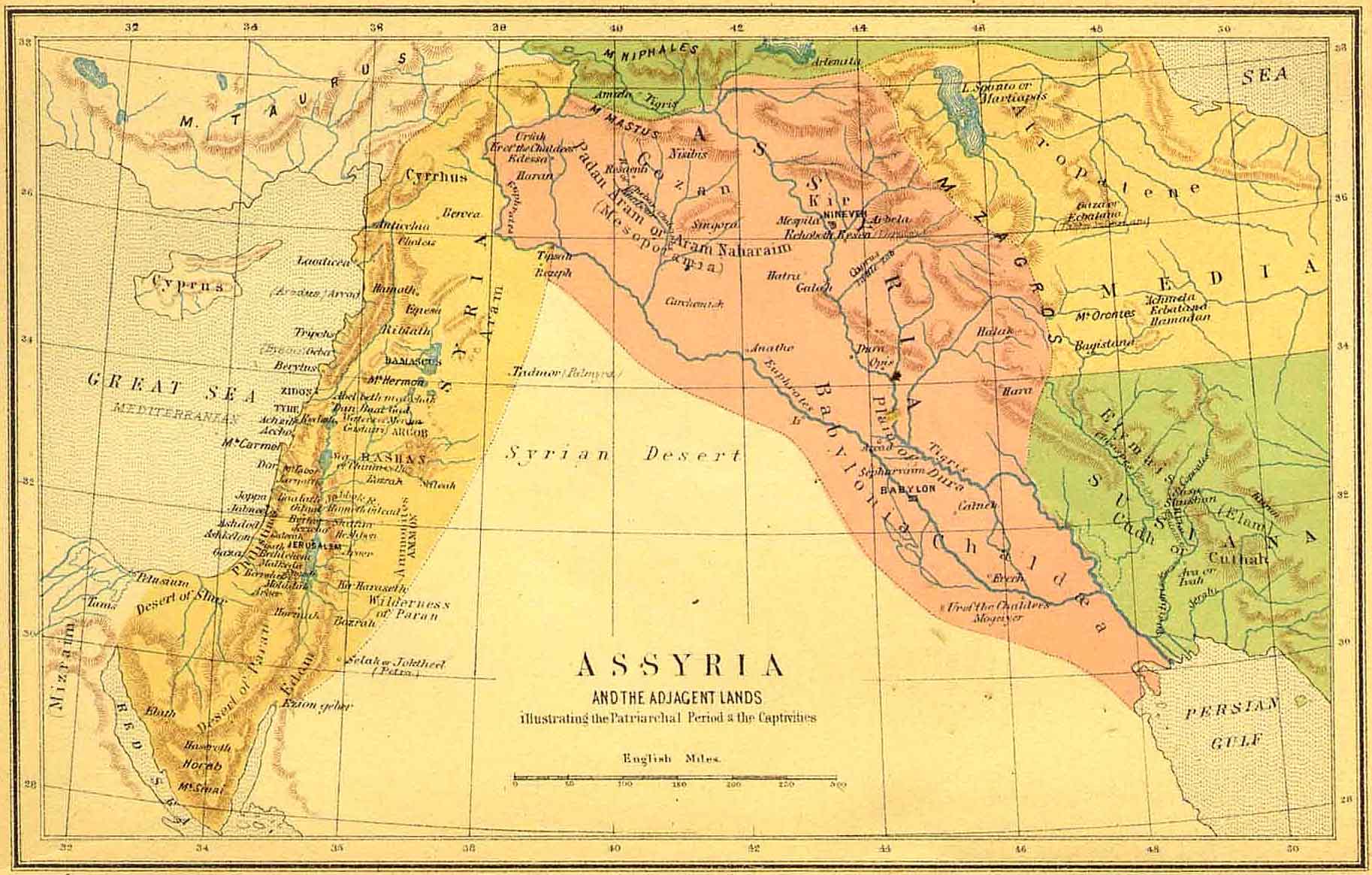
Kingdom of Assyria |
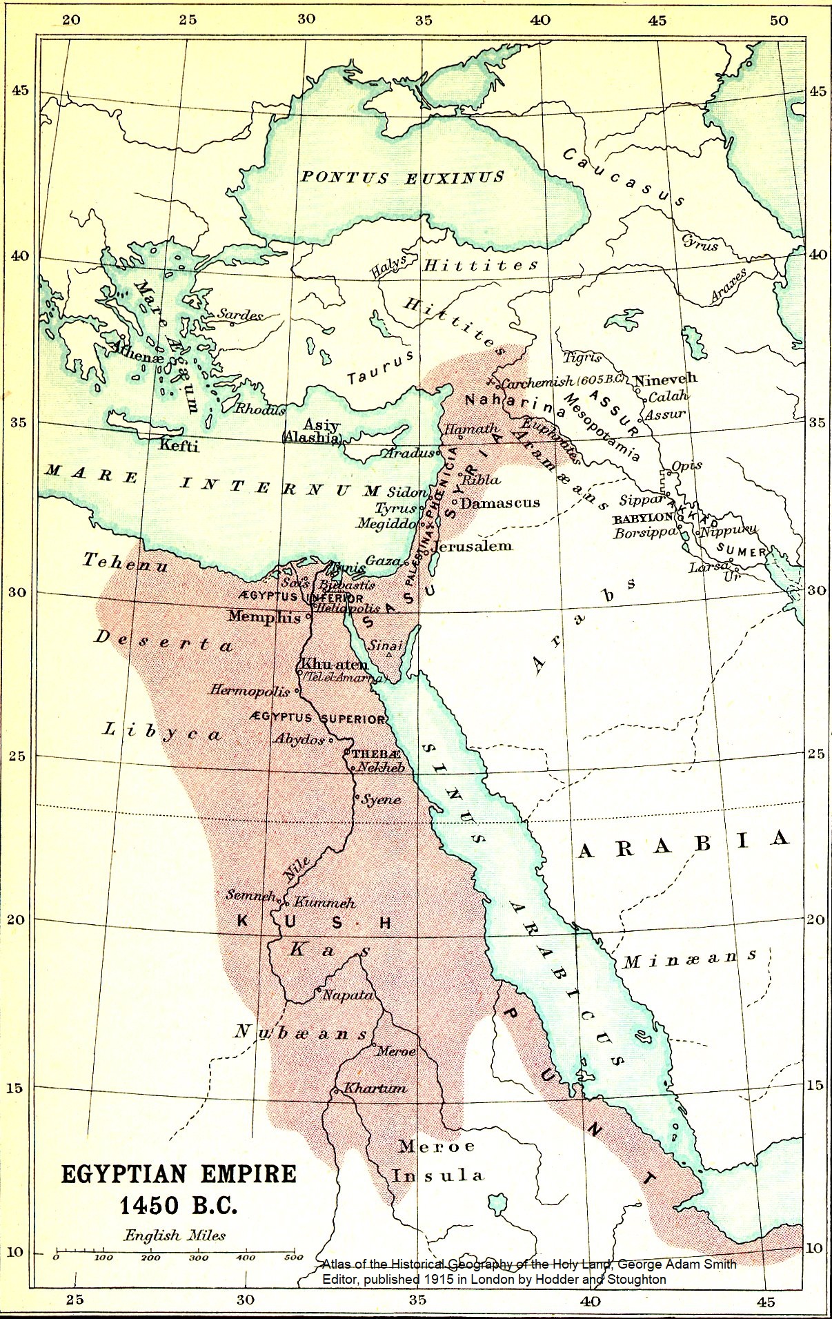
Egyptian Empire 1450 BC |
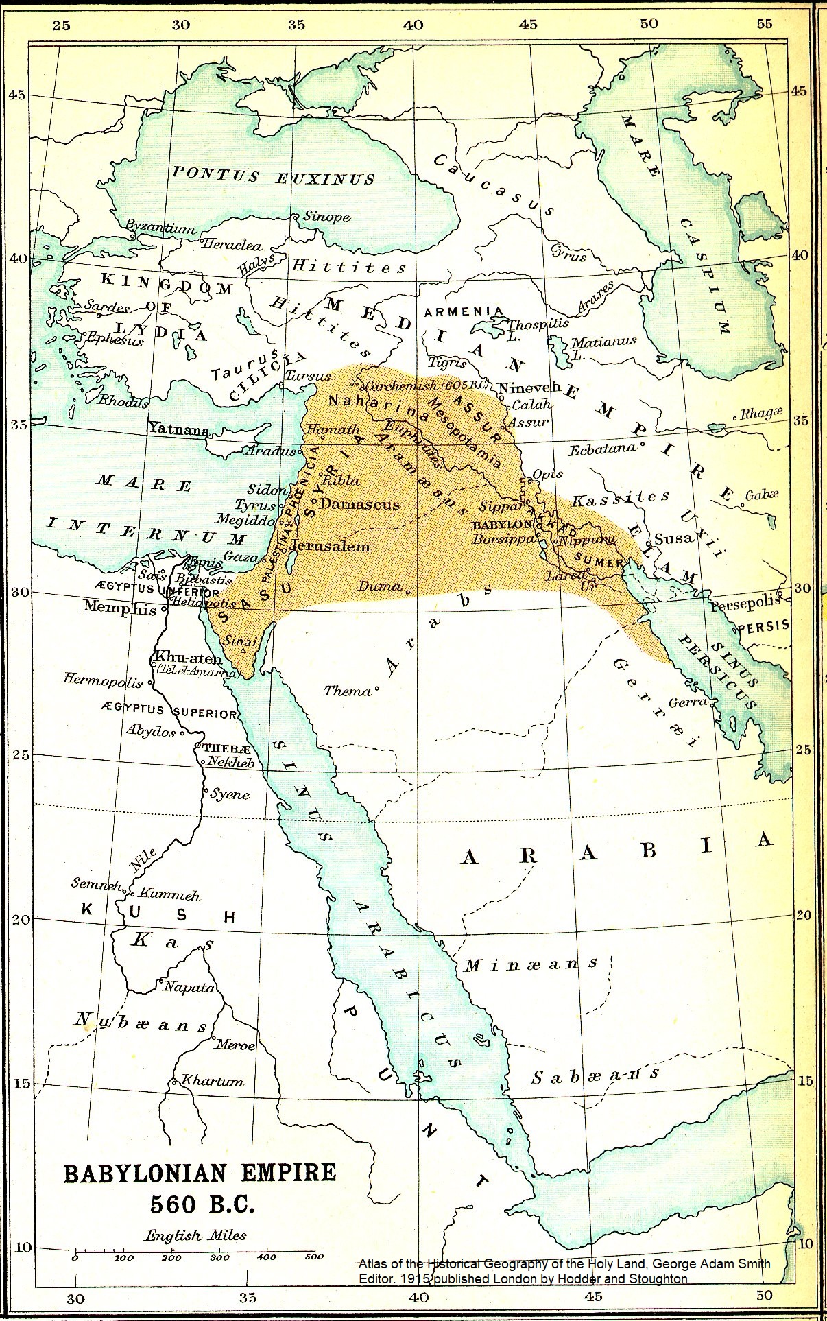
Babylonian Empire 560 BC |
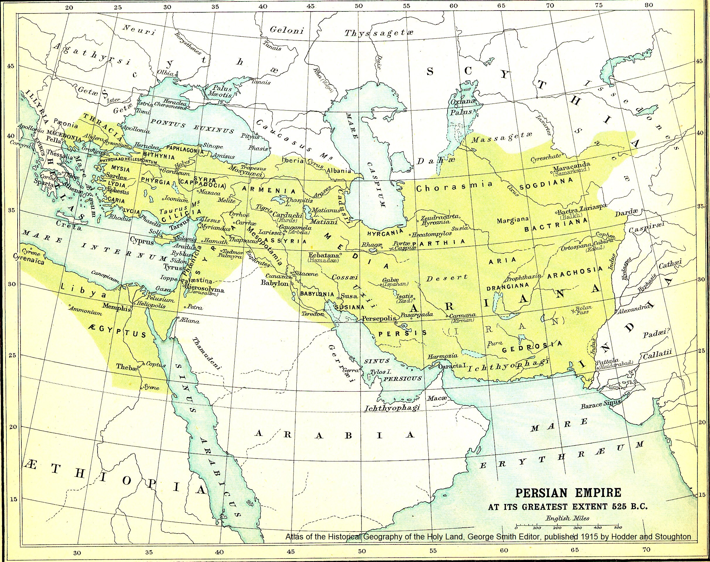
Persian Empire 525 BC |
|
|
1915 by George Smith |
||
|
|
|||
|
|
|
|
|
|
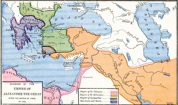
Alexander The Great Empire 325 BC |
Alexander The Great Empire after divided |
|
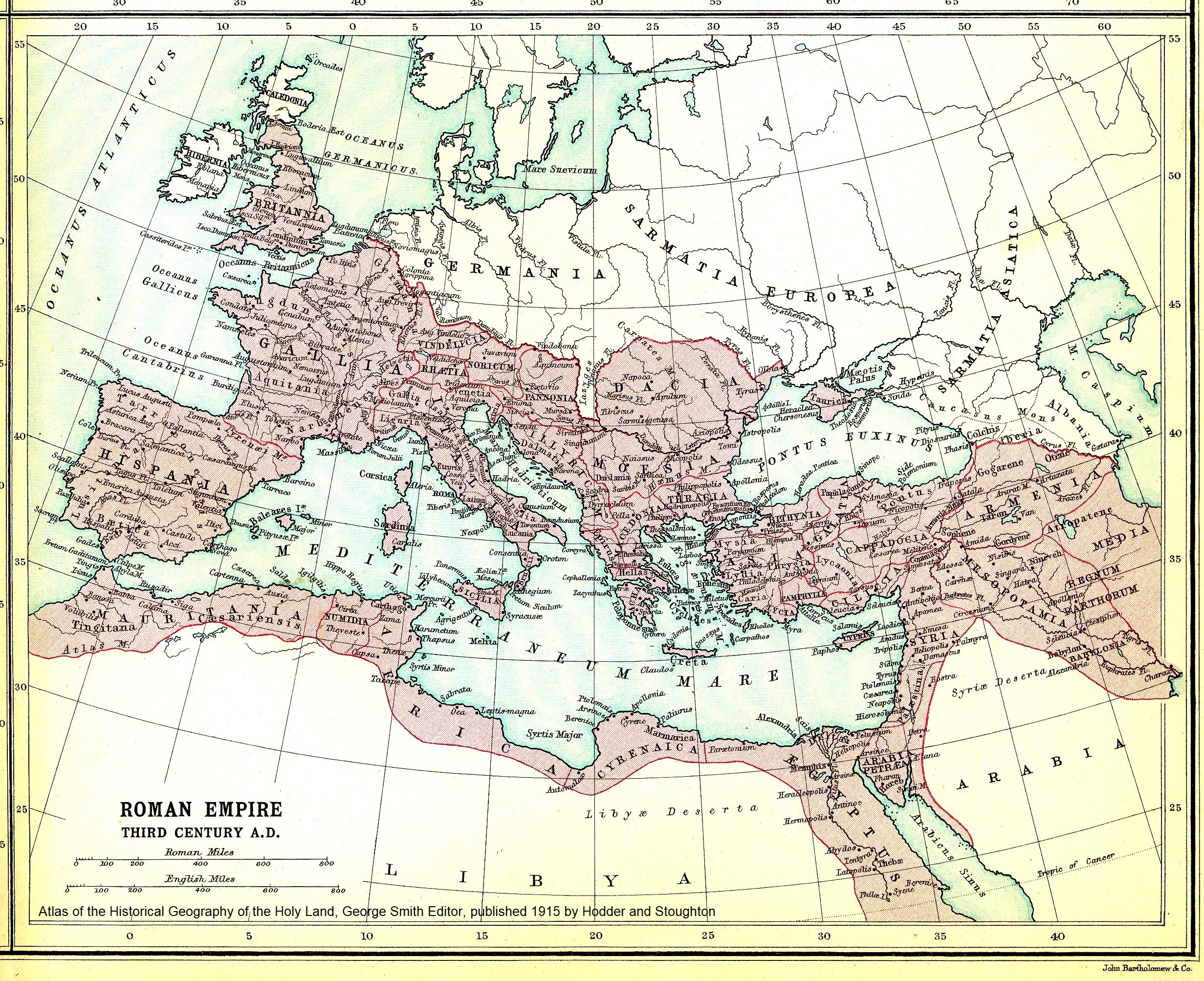
Roman Empire Third Century |
|
1915 by George Smith |
in 301 BC |
|
1915 by George Smith |
|
|
|||
|
|
|
|
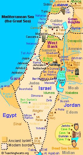
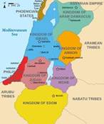
See the Wikimedia Commons site for usage and license information. It can be downloaded at the address below. Available from userid: Richardprins. |
|
Modern map of Israel Displays Petra and |
|
Kingdoms around Israel |
|
|
Bozrah |
|
commons.wikimedia.org/wiki/File:Kingdoms_around_Israel_830_map.svg |
|

Website Design and Layout is Copyrighted by WD Kemner @ 2025 for BiblesWordFinal